
Mapping the Past
6th February 2024
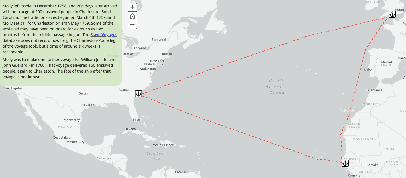
In our first Friday Talk of 2024, Steve Richardson showed how Geographic Information Science (GIS) can be used to map history with reference to Dorset. Drawing on a variety of sources, Steve illustrated various aspects of Blandford’s and Dorset’s history and connections to the wider world, including enslavement, transportation and trade.
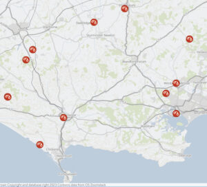
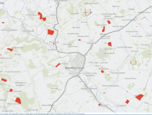
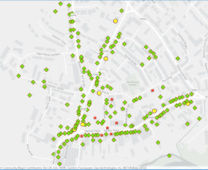
Steve has kindly provided this link to the storymap from histalk. Play with it as much as you like, you won’t be able to break it. Where available, use the “zoom” box at the top right of the map, and the legend at the bottom left. All but the first map can be zoomed (in or out) and panned.
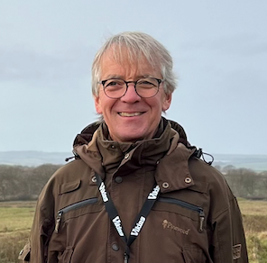
Steve Richardson taught Geography in Skipton, Vancouver, Lyme Regis, Bristol and Blandford. In 2010 he took a Massive Open Online Course in GIS. On retiring from teaching in 2016, he was “head-hunted” by the Education and Social Research Institute (ESRI UK) to produce digital mapping content. Steve has trained teachers in the use of GIS in schools across Dorset and in other locations.